
Every few winters the news shouts “polar vortex!” and half the US freezes. But the polar vortex isn't a storm. It's always up there.
What the polar vortex is
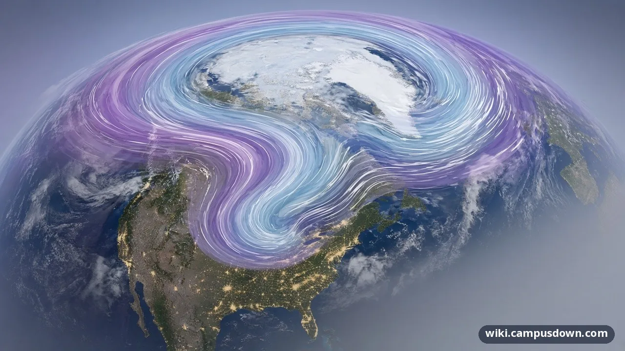
NOAA describes the Arctic polar vortex as a band of strong westerly winds that forms in the stratosphere, about 10 to 30 miles above the North Pole, every winter. Those winds wall off a giant pool of extremely cold air.
The stronger the winds, the more that cold air stays locked up near the pole.

Not the jet stream
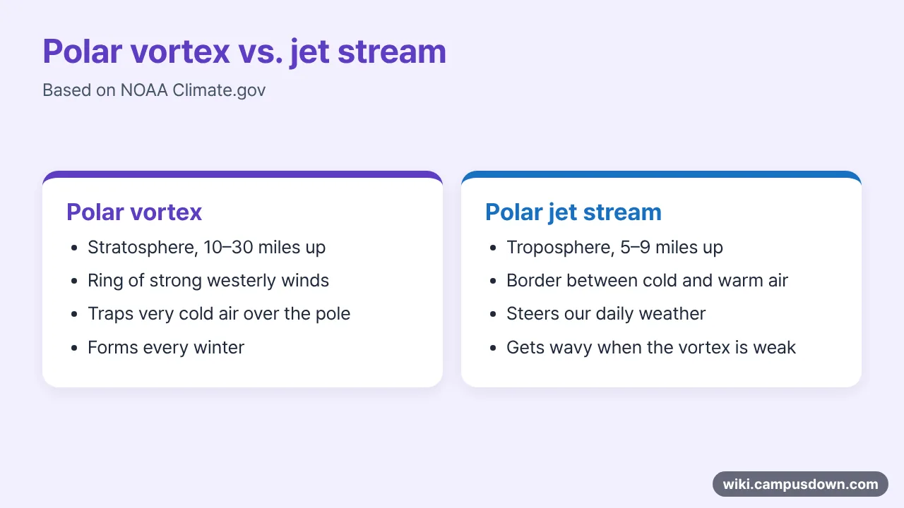
People mix it up with the polar jet stream, NOAA expert Amy Butler says, but they're in different layers. The jet stream is lower, 5 to 9 miles up, and it's what steers our day-to-day weather.
When it goes wrong
Sometimes strong waves from the lower atmosphere break upward and knock the vortex off balance. It can wobble, slide off the pole, split into pieces or even reverse. The stratosphere suddenly warms, which is why scientists call this a sudden stratospheric warming.
When that happens, the jet stream below often gets very wavy. Warm air pushes into the Arctic and frigid air sinks south. Amy Butler told NOAA it's reasonable to suppose the vortex played a role in the extreme cold that hit the US Southern Plains in February 2021. Research links vortex disruptions to cold outbreaks in the US or Eurasia a few weeks later.
FAQ
- Is the polar vortex a storm?
- No. It's a ring of winds high in the stratosphere that forms every winter.
- How is it different from the jet stream?
- The jet stream is lower (5–9 miles up) and steers daily weather.
- Why does it cause cold snaps?
- When it weakens or splits, the jet stream gets wavy and Arctic air spills south.
Sources reviewed: 2026-11-20
References
- NOAA Climate.gov. Understanding the Arctic polar vortex (2021). 10–30 miles up in the stratosphere; jet stream 5–9 miles; sudden stratospheric warming.
- NOAA. The science behind the polar vortex (infographic). How a weak vortex sends cold air south.